
Things to Do in Ishigaki, Iriomote and Taketomi: Kabira Bay, Iriomote Island (Urauchi River) and Taketomi Island
Across Ishigaki, Iriomote and Taketomi in the Yaeyama Islands: Kabira Bay, a national Place of Scenic Beauty; Iriomote, a World Natural Heritage island with the Urauchi River; and Taketomi, the island of red-tiled houses. Ferry fares, boat tour prices and access rules, all checked on official pages.
This page contains advertising (PR).
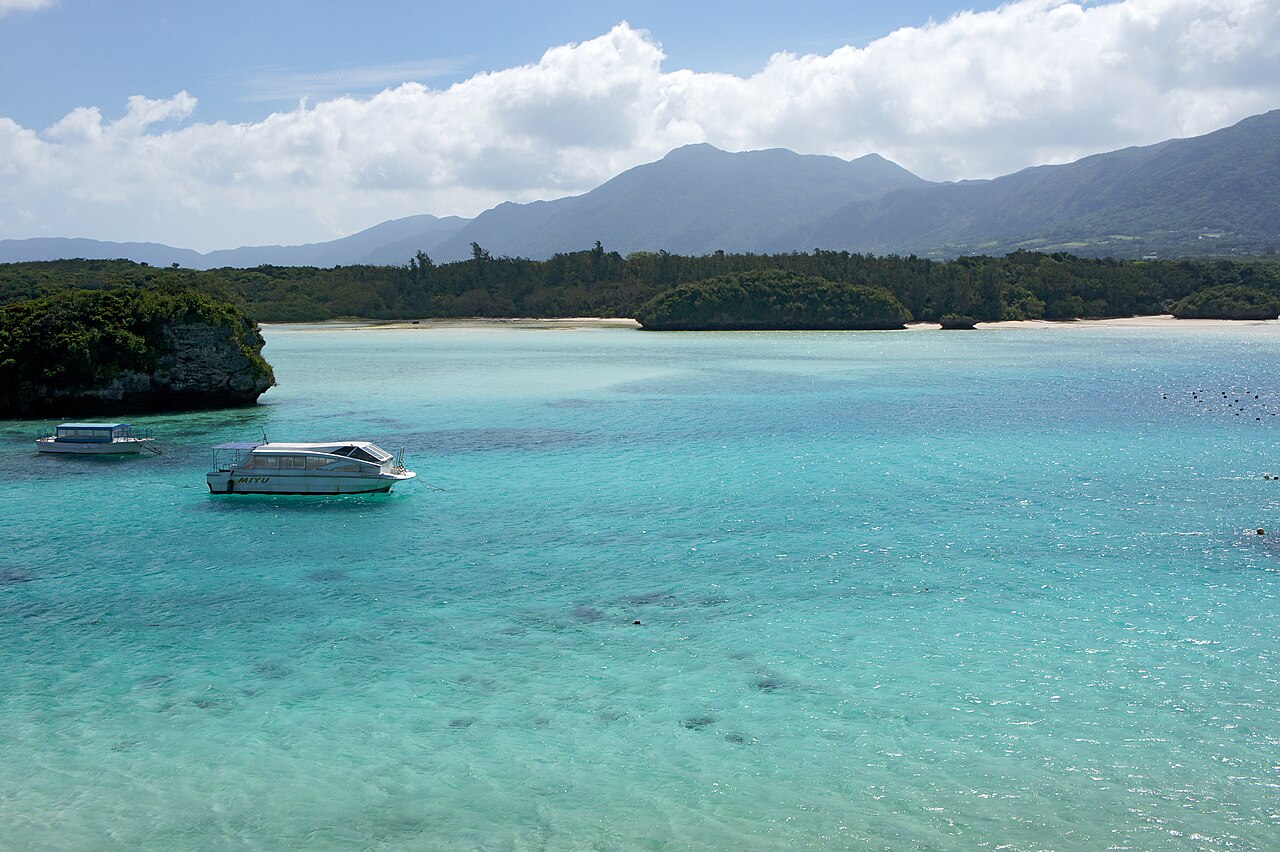
Ishigaki is the gateway to the Yaeyama Islands, and you reach Iriomote and Taketomi by ferry from there. This article covers three of them: Kabira Bay, Iriomote and Taketomi. Ferry fares, boat tour prices and Iriomote’s access rules are listed with the dates they were checked.
Fares change with the fuel surcharge. Open the source pages again before you travel.
Kabira Bay: a national Place of Scenic Beauty, seen from a glass-bottom boat
A bay designated a Place of Scenic Beauty in 1997
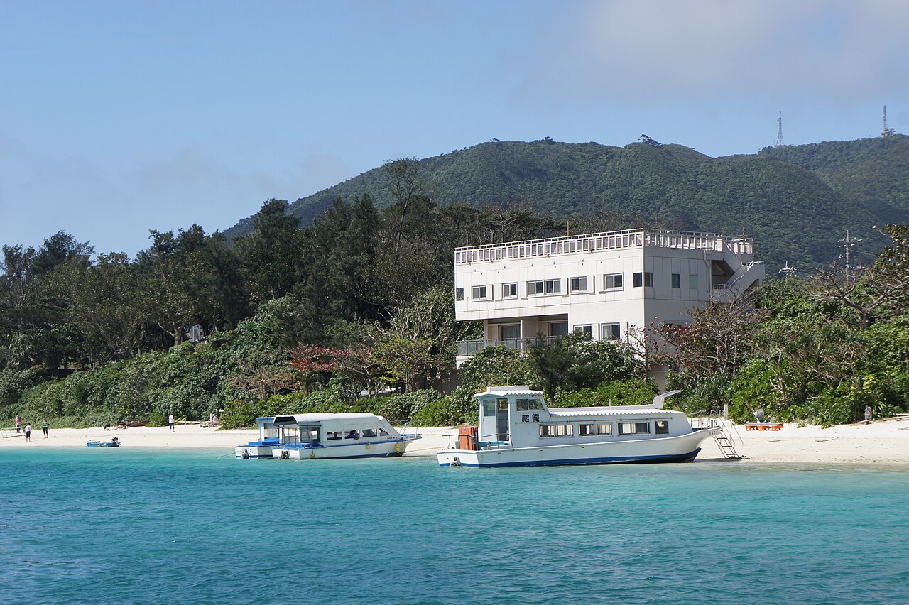
Kabira Bay sits on the northwest side of Ishigaki Island. On Cultural Heritage Online, run by the Agency for Cultural Affairs, it is designated a Place of Scenic Beauty under the name Kabira Bay and Mount Omoto, with a designation date of September 11, 1997 and a water surface area of about 174.2 ha.
Before going in the water, follow the signs on site and the guidance from Ishigaki City.
Currents inside the bay are strong, and swimming is prohibited. Ishigaki City’s basic tourism plan also lists Kabira Bay as a dangerous swimming area. To see what is under the water, take a glass-bottom boat.
Glass-bottom boat tours
On the official Kabira Marine Service site, the glass-bottom boat costs 2,300 yen for adults (12 and over) and 1,200 yen for children (4 to 11). The ride takes about 30 minutes, with departures every 15 minutes from 9:00 and a last departure at 17:00. A notice dated November 15, 2026, however, listed 13:30 as the last departure. Boarding is handled at the desk inside the Kabira community facility. Kaiho Marine, which also runs glass-bottom boats on Kabira Bay, lists the same prices on its official site (updated October 21, 2026). The dedicated parking lot is free and holds 10 cars; when it is full, use the city-run paid lot (200 yen for the first hour, then 100 yen per hour). By local bus, get off at the Kabira Koen stop, a 1-minute walk away.
Getting there from the airport
The official site for Painushima Ishigaki Airport lists standard taxi estimates: 40 minutes and 5,600 yen to Kabira Park, and 25 minutes and 3,500 yen to Ishigaki Port Ritou Terminal. Local buses heading for the ferry terminal are Azumi Bus routes 2, 4, 5, 6 and 10, plus Karry Kanko route 55 (direct).
Iriomote Island: World Natural Heritage, the Urauchi River and 5 permit-only places
About 40 to 55 minutes by ferry from Ishigaki
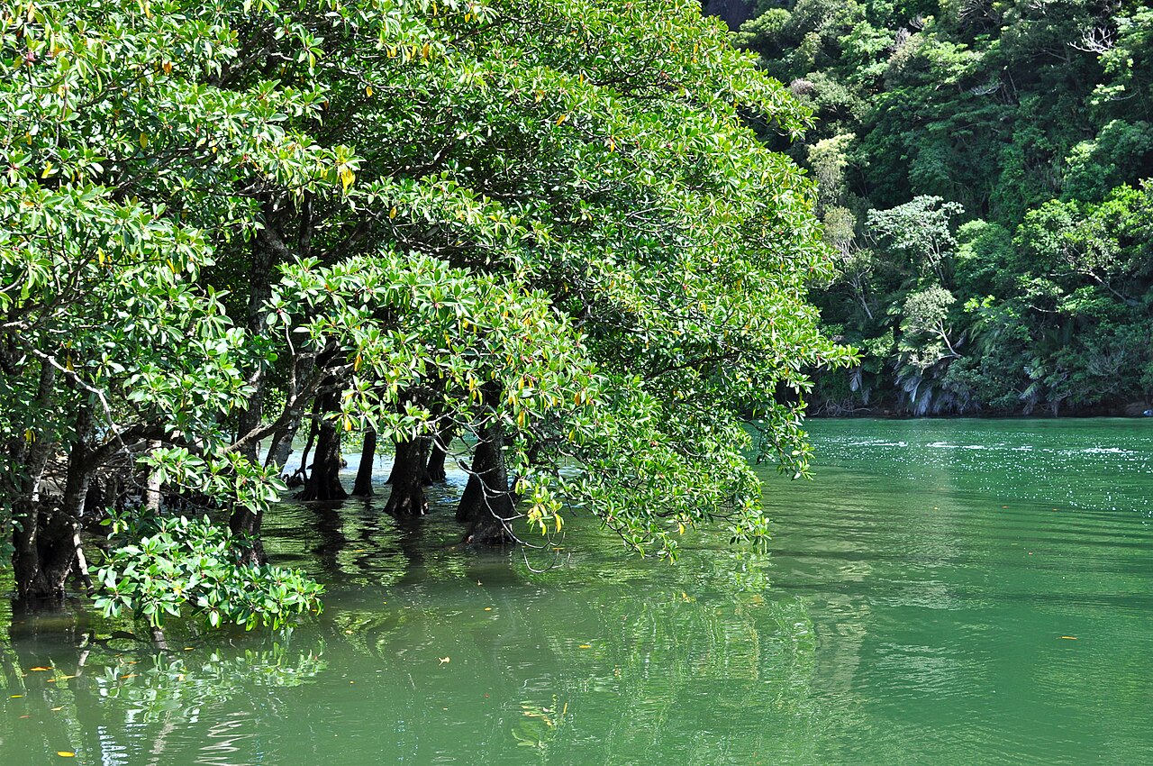
Iriomote was approved for World Natural Heritage inscription on July 26, 2021, as part of Amami-Oshima Island, Tokunoshima Island, the northern part of Okinawa Island, and Iriomote Island (Ministry of the Environment press release). The island lies within Iriomote-Ishigaki National Park, and the ministry’s park page explains that it was designated Iriomote Government Park on April 18, 1972, with Ishigaki Island added on August 1, 2007. The land area is 40,658 ha.
Ferries from Ishigaki
Adult fares are 2,520 yen one way and 4,880 yen round trip to Ohara Port, and 3,290 yen one way and 6,370 yen round trip to Uehara Port. Anei Kanko lists the crossing as about 40 to 50 minutes direct to Ohara Port and about 45 to 55 minutes direct to Uehara Port. The connecting bus at Uehara Port stopped running on May 31, 2026.
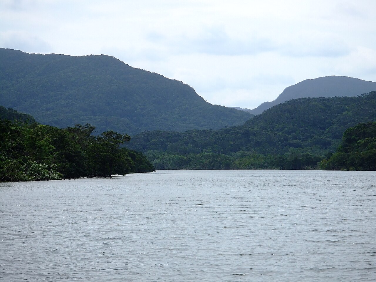
Urauchi River
The jungle cruise run by Urauchi River Kanko goes from the landing downstream to the upper river in about 30 minutes each way, and costs 3,000 yen for adults and 1,500 yen for children. Departures are at 9:00, 10:00, 11:30, 12:30, 14:30 and 15:30. The cruise by itself does not reach the waterfalls; the waterfall course costs 3,500 yen for adults and involves 1 to 3 hours of walking. The official site describes the area as one of the largest mangrove forests in Japan.
The 5 places that require a permit
Since March 1, 2025, Taketomi Town has required an application to the town in advance for 5 places: the Hinai River, the Nishida River, Mount Komi, the headwaters of the Urauchi River, and Mount Tedo. The Hinai River and the Nishida River must be visited with a registered guide certified by the town. Mount Komi, the Urauchi River headwaters and Mount Tedo require either a registered guide or a training session taken in advance by everyone in the group. Daily caps are 200 people for the Hinai River, 100 for the Nishida River, 30 for Mount Komi, 50 for the Urauchi River headwaters and 30 for Mount Tedo, and the fee is 500 yen (1,000 yen if you take the training).
Taketomi Island: red-tiled houses and a 300 yen visitor contribution
About 15 to 20 minutes from Ishigaki
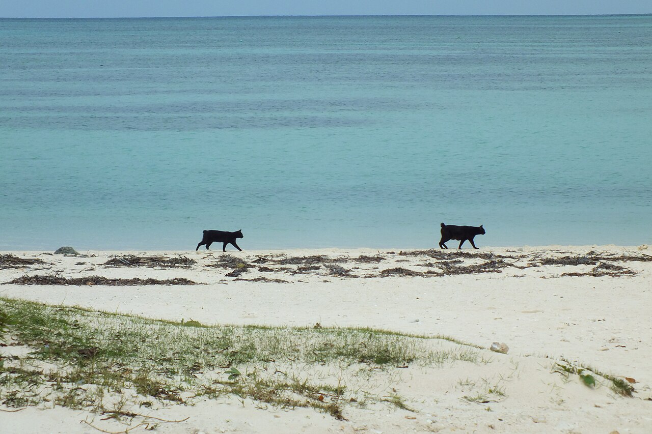
Taketomi is about 15 to 20 minutes by ferry from the Ritou Terminal on Ishigaki. Adult fares are 970 yen one way and 1,880 yen round trip, and Anei Kanko and Yaeyama Kanko Ferry charge the same. In the Agency for Cultural Affairs list, Taketomi Island in Taketomi Town was selected as an Important Preservation District for Groups of Traditional Buildings on April 28, 1987, covering 38.3 ha.
Since September 1, 2019, Taketomi Town has asked arriving visitors for a contribution of 300 yen per person. It is voluntary, and the official site of the Taketomi Island Regional Natural Assets Foundation explains that you can buy an Utsugumi ticket at the ticket machines at the Ritou Terminal and at Kariyushi-kan at Taketomi East Port, as well as at sales points on the island.
According to the Taketomi Town Tourism Association, Kondoi Beach is on the west side of the island, with shallow water and calm waves, and is known as a place to watch the sunset.
Ishigaki, Iriomote and Taketomi: frequently asked questions
Ferry fares, Iriomote access rules, the Urauchi River, Taketomi’s visitor contribution and Kabira Bay
-

-
Things to Do in Okinawa: Snorkeling, Island Day Trips and Tours
GO JAPAN NOW THINGS TO DO IN OKINAWA Contents Things to Do and Places to Go in Okinawa: Pick by Answ …
続きを見る
Sources (checked November 16, 2026)
Agency for Cultural Affairs, Cultural Heritage Online: Kabira Bay and Mount Omoto
Ishigaki City: Second Ishigaki City Basic Tourism Plan
Kabira Marine Service official site
Kaiho Marine official site (glass-bottom boat)
Painushima Ishigaki Airport: Buses and Taxis
Ministry of the Environment: World Heritage Committee decision (July 26, 2021)
Ministry of the Environment: Iriomote-Ishigaki National Park
Anei Kanko: Ishigaki to Iriomote (Ohara)
Anei Kanko: Ishigaki to Iriomote (Uehara)
Anei Kanko: Ishigaki to Taketomi
Yaeyama Kanko Ferry: Schedules and Fares
Urauchi River Kanko: Jungle Cruise
Urauchi River Kanko: Waterfall Course
Taketomi Town: Access rules for designated natural tourism resources
Taketomi Town Tourism Association: Rules for visitors
Agency for Cultural Affairs: List of Important Preservation Districts for Groups of Traditional Buildings
Taketomi Town: Island visitor contribution
Taketomi Island Regional Natural Assets Foundation: Utsugumi ticket
Taketomi Town Tourism Association: Kondoi Beach